by GPR Data | Jul 27, 2017
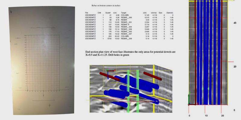
Objective: Use nondestructive ground penetrating radar to create a high-resolution, three-dimensional image of the embedded structural steel. By imaging specific sections of the concrete columns for seismic retrofit, our goal was to determine the feasibility of...
by GPR Data | Jul 27, 2017
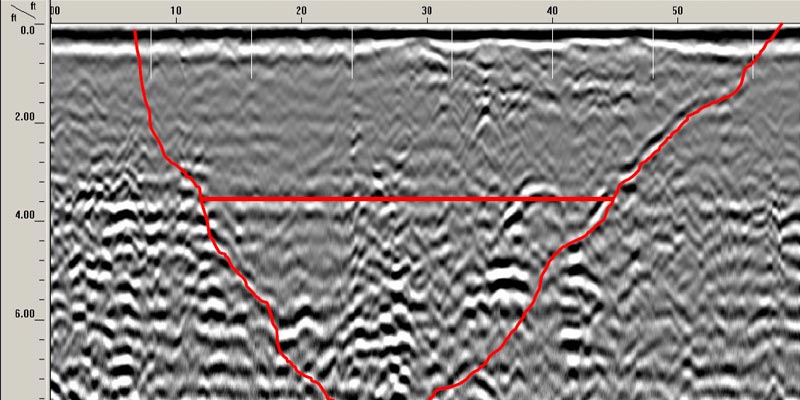
Background: South Fork Mountain Spring is a naturally occurring fresh water spring located on a 326-acre parcel in the foot hills of the Mad River Mountain Range, in Trinity County, California. It is situated between the boundaries of the Six Rivers National Forest...
by GPR Data | Jul 27, 2017
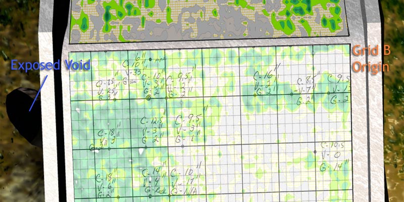
Background: An irrigation district reservoir spillway was built in the early 1900’s and continues in use today. The spillway is approximately 80’ wide by 70’ long and drops 32 feet in elevation. The structure has had some repair and maintenance over the years,...
by GPR Data | Jul 27, 2017
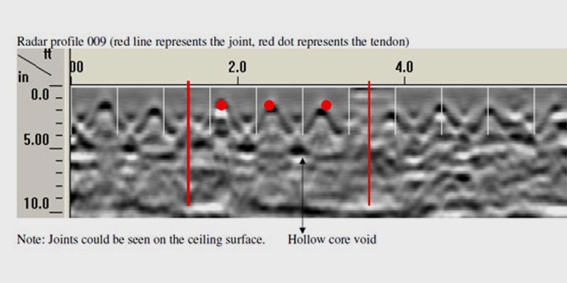
Objective: Use nondestructive ground penetrating radar to characterize and evaluate four (4) areas composed of prestressed concrete roof and floor planks. The targeted information was spacing, depth, quantity, diameter of pre-stressed tendons, and beam width of plank...
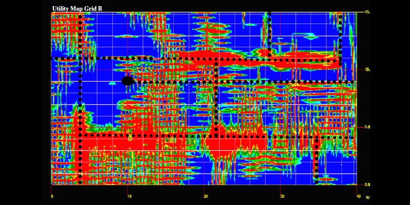
by GPR Data | Jul 27, 2017
Objective: Subsurface evaluation of 60’x35′ area within the Coliseum basement: Dimensions and depth of cover to column footings. Anything of concern within and/or beneath the concrete slab on grade to a depth of five feet that would be in conflict with...


